Town guide
St Austell, Cornwall: beaches, parking and getting there
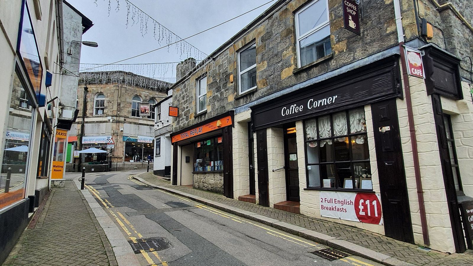
View up Duke Street. St Austell, Cornwall Photo: Mutney, Wikimedia Commons, CC BY-SA 4.0, cropped

St Austell is described by Wikidata as a “town in Cornwall, England, UK”. Its Cornish name is S. Austel. Here are the beaches, council car parks and railway stations nearby.
- Cornish name
- S. Austel
- Beaches in our guide within 10 km
- 10
- Council car parks within 3 km
- 3
- Nearest railway station
- St Austell station (440 m (0.3 miles))
Beaches near St Austell
Beaches in our guide within 10 km of the centre of St Austell, nearest first.
| Beach | Distance (straight line) | Council dog rule | Water quality 2025 |
|---|---|---|---|
| Porthpean | 2.6 km (1.6 miles) | No dogs 10am–6pm, 1 July – 31 August | Excellent |
| Duporth | 2.6 km (1.6 miles) | Not on the council restriction list | Excellent |
| Charlestown | 2.9 km (1.8 miles) | Not on the council restriction list | Excellent |
| Crinnis Beach | 4.3 km (2.7 miles) | Not on the council restriction list | Excellent |
| Shorthorn Beach | 5.1 km (3.2 miles) | Not on the council restriction list | Excellent |
| Pentewan | 5.7 km (3.5 miles) | Not on the council restriction list | Excellent |
| Polstreath | 7.1 km (4.4 miles) | Not on the council restriction list | Excellent |
| Par Sands | 7.3 km (4.5 miles) | Not on the council restriction list | Good |
| Polkerris | 8.1 km (5.0 miles) | Not on the council restriction list | Excellent |
| Portmellon | 8.5 km (5.3 miles) | No dogs 10am–6pm, 1 July – 31 August | Excellent |
Council dog restrictions listed under St Austell
- Porthpean Beach, St Austell: no dogs 10am–6pm, 1 July – 31 August (map PDF)
From Cornwall Council’s dogs-on-beaches list, last updated 23 October 2026.
Council car parks in and near St Austell
Cornwall Council car parks within 3 km of the centre, nearest first. We do not quote charges, which change; each council page has current tariffs.
| Council car park | Postcode | Distance (straight line) | Spaces | Open | Council page updated |
|---|---|---|---|---|---|
| North Street, St Austell | PL25 5QD | 190 m (0.1 miles) | 40 | 24 hours | 22 July 2026 |
| Polkyth, St Austell | PL25 4DB | 820 m (0.5 miles) | 241 | 24 hours | 22 July 2026 |
| Clifden Road, St Austell | PL25 4NZ | 1.5 km (0.9 miles) | 32 | 24 hours | 4 August 2026 |
Getting to St Austell by train
The nearest National Rail stations to the centre of St Austell:
- St Austell station: 440 m (0.3 miles)
- Luxulyan station: 6.7 km (4.2 miles)
- Par station: 6.7 km (4.2 miles)
Straight-line distance, our own calculation from OpenStreetMap station locations (© OpenStreetMap contributors, ODbL). It is not a walking or road route. See also beaches you can reach by train.
Other towns nearby
- Mevagissey: 7.6 km (4.7 miles) (straight line)
- Fowey: 11.5 km (7.1 miles) (straight line)
- Wadebridge: 20.1 km (12.5 miles) (straight line)
- Truro: 20.1 km (12.5 miles) (straight line)
Map
Photos

Planning when to go? See Cornwall month by month for daylight, average weather and school holidays.
Sources and checks
- Wikidata: St Austell – CC0
- Cornwall Council car parks – pages checked 1 November 2026
- Cornwall Council: dogs on beaches – last updated 23 October 2026
- Environment Agency bathing water data – Open Government Licence v3.0
- OpenStreetMap: railway stations – ODbL; distances are our own calculation
- National Rail: station information – linked for times and facilities
Last checked: . Published by Only Cornwall. How we check: editorial policy.